Located just north of Vancouver, Mount Seymour is great for skiing, snowboarding and snowshoeing in the winter; as well as hiking in the summer. There are a number of hikes that start from the parking lot here. On this hike you can climb to First, Second, or Third Peak, with Third Peak being the highest and providing you with the most amazing views of the city and the surrounding mountains.
This hike is considered an intermediate hike and at about 9 km round trip will take around 4 to 5 hours to complete. To find the start of the trail walk to the northern end of the parking lot and begin here.

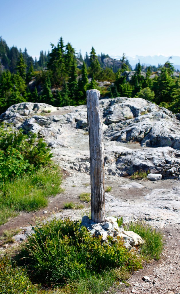
To begin with the trail will start off quite steeply…heading up the side of the mountain. When you get to just over 550 metres there will be a junction to Dinkey Peak…stay right and continue climbing. The next junction will be for Dog Mountain…again stay to the right. You will find yourself climbing up a wide gravel road which is actually a ski run in the winter. The trails are well marked so just make sure to check the signs when you see them. There are also orange markers on the trees to help guide you.

Heading left at the top of the gravel road and then left again, you will soon find yourself at First Peak.

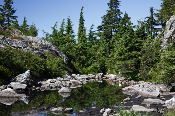
Once you’ve checked out the views at First Peak continue back to the main trail for about 750 m to Tim Jones Peak, named after a former member of the North Shore Search and Rescue Team (previously known as Second Peak). You will pass the small pond on the way to and from First Peak.

The climb between First Peak and Second Peak is steeper and there are sections of loose rock so take your time. Continue to look for the orange markers. Have a quick look back at Second Peak before continuing on to the top.

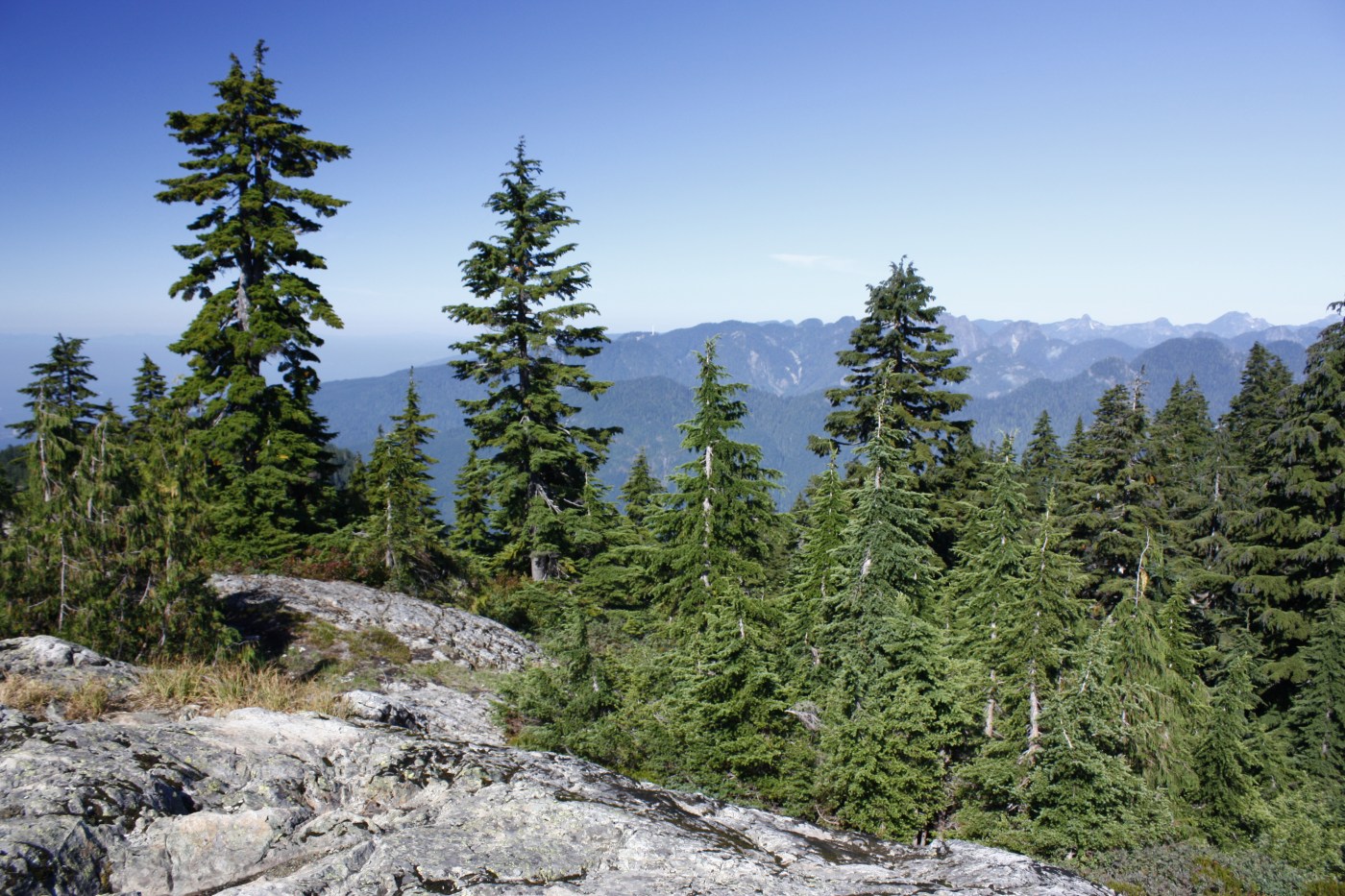
The last section from Second Peak to the top is about 500 metres and starts off with a bit of a descent before climbing again rather steeply. There will be a bit of a leveling off, and then the trail meanders through some trees and loose rocks before ending at the top.

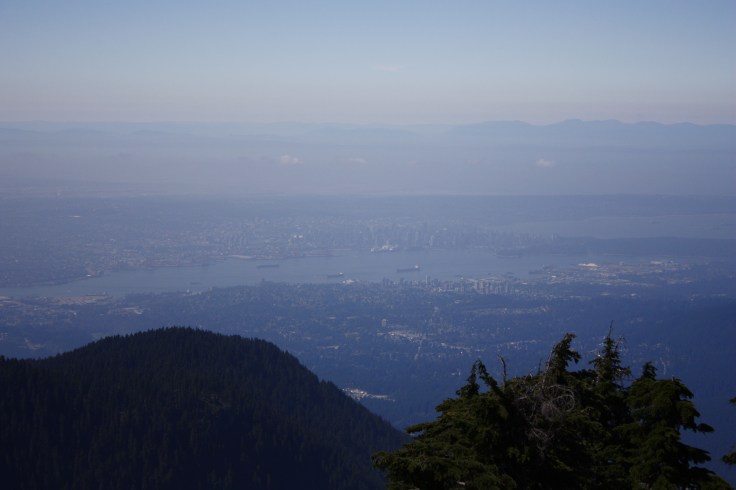
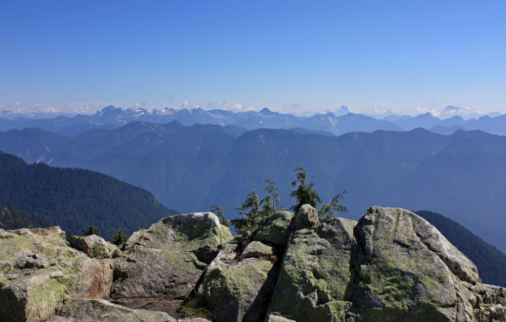
On a clear day the view from the top is spectacular. You can see all around, including Vancouver to the south…
…and the Coast Mountains to the north.

Enjoy the view from the top, have some lunch and water, and then make your way carefully back down the same way. As of June 1st, Mount Seymour is one of the B.C. Provincial Parks that has opened once more, however you do need a day pass to hike here. For more information click here.
Please make sure and hike responsibly…check weather conditions…wear comfortable, sturdy footwear…tell someone where you’re going…hike with at least one other person…take plenty of food and water…make sure you have the 10 Essentials…click here for a list of these as well as other hiking safety tips.

I’ve been to Vancouver so many times, but have never hike Seymour. Looks like really nice views from the summit, maybe next time:)
LikeLiked by 1 person
Yes the views are amazing. One I would recommend is Garibaldi Lake…it’s on the way to Whistler. Next time!
LikeLiked by 1 person
What an absolutely amazing view! I’m always wary of intermediate hikes as they tend to be pretty hard. At least for me! I’d love to try this one!
LikeLiked by 1 person
This is my favourite hike!
LikeLiked by 1 person
Really? Didn’t know that. I want to do it again this summer. Garibaldi is pretty amazing too! Any other suggestions for me?
LikeLike
Nice shots. Definitely a place I would visit.
LikeLiked by 1 person
Thank you…lots of nice hikes around here 😀
LikeLiked by 1 person