This was a walk I had high hopes for! I left Bath bright and early with map and instructions in hand. I crossed over the North Parade Road Bridge, and continued on my way. I was excited to spend the better part of the day wandering in the downs and taking in the spectacular views I had heard about.
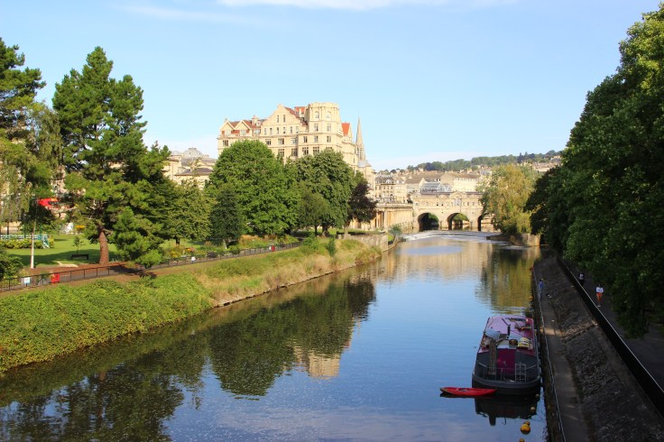
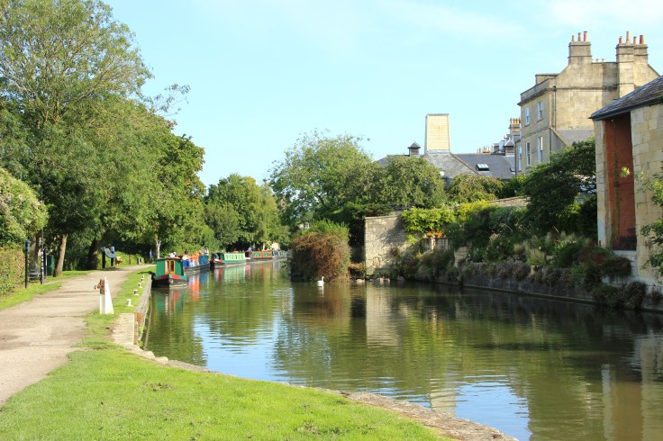
After crossing over the bridge I continued to the Kennet and Avon Canal, where I got to watch some of the houseboats being taken through the lock there. I could have spent a lot of time just sitting here as it’s a beautiful spot along the water.
Leaving the canal behind, I began the ascent up some stairs and along pathways…stopping a few times to catch my breath! The first part of this walk from Bath is definitely the steepest part of the hike.
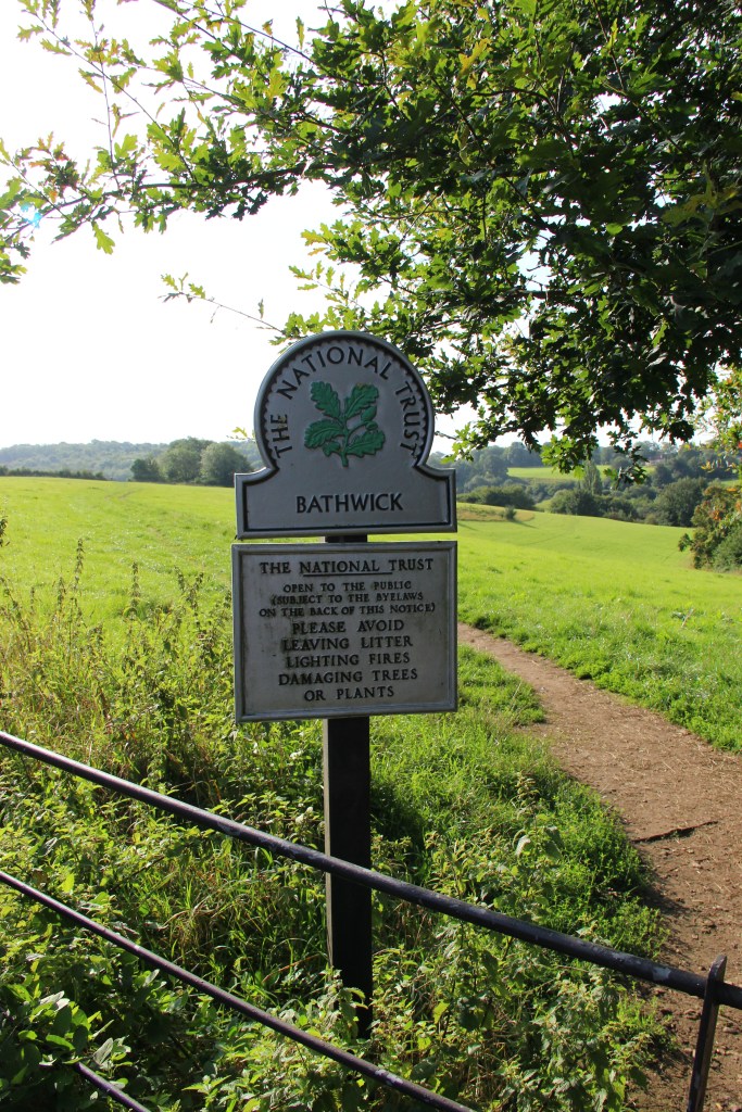
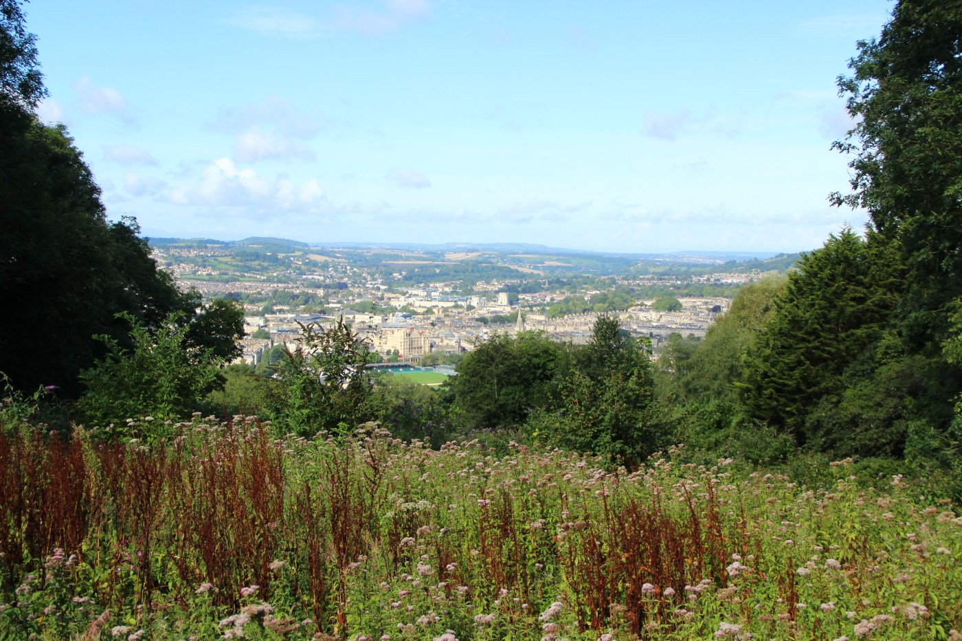
The signage for the walk was great to start with and there was no problem following the arrows. This sign for Bathwick Fields is where the walk actually begins. You could just wander into this area and enjoy some great views of the city. I kept going though, continuing up the hill and along the road. You climb fairly quickly and before long you get some fantastic city panoramas.

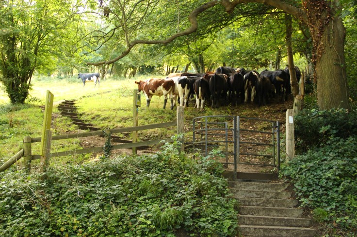
I knew I was really entering the countryside when I had to go through a kissing gate and pass beside these lovely creatures. My pamphlet came in handy as I flapped it against my legs and said, “move cows.”
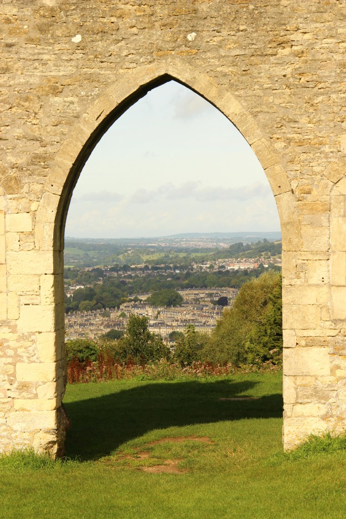
At the top of this part of the hike there is a detour for Sham Castle. This “castle” is only a façade, but the view through the door of the city below is pretty fantastic.
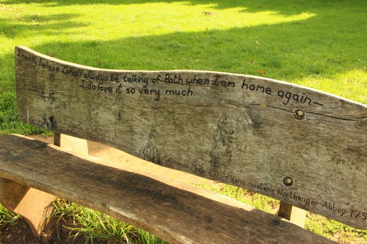
After a short rest on this bench, which was exactly how I was feeling…
…I carried on through a forested area…

and then out into the sunshine. I was feeling pretty good and proud of myself…doing this walk solo was a bit daunting for me. I carried along this path…
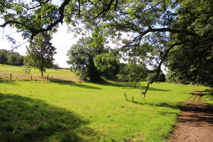
…and came to the open downs.
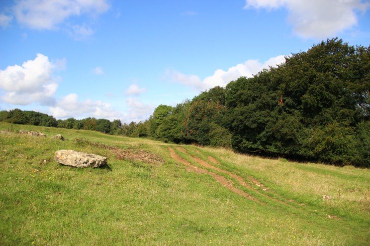
And then….the trail went cold for me. I’m pretty sure I had to head down through another forested area and I could envision where I was and where I needed to be. I saw what looked like a sign, but I wasn’t prepared to take the risk on my own. I asked a couple of local people out walking, but neither of them had been able to find the trail, even though they knew about it. In the end I took one more picture of the gorgeous landscape with the rolling hills, cut through the Bath Golf Course (which yes does have a public pathway running right through it), found myself at Bath University, and then took a bus back into town.

I really wish I had been able to finish this walk. I think there might even be certain days that they have guided hikes of the area, but it just wasn’t the days I was there. Next time I find myself in Bath, perhaps with a willing hiker by my side, I will tackle this walk once more!

It sounds like a pleasant walk with beautiful scenery and views. It’s a shame the trail disappeared. Did you have a local SIM card? I always get one so I can use Google Maps to help me get around, even if I feel lost.
LikeLike
ohhhhh no I didn’t have a local card…just what I thought was a trusty map…haha
LikeLike